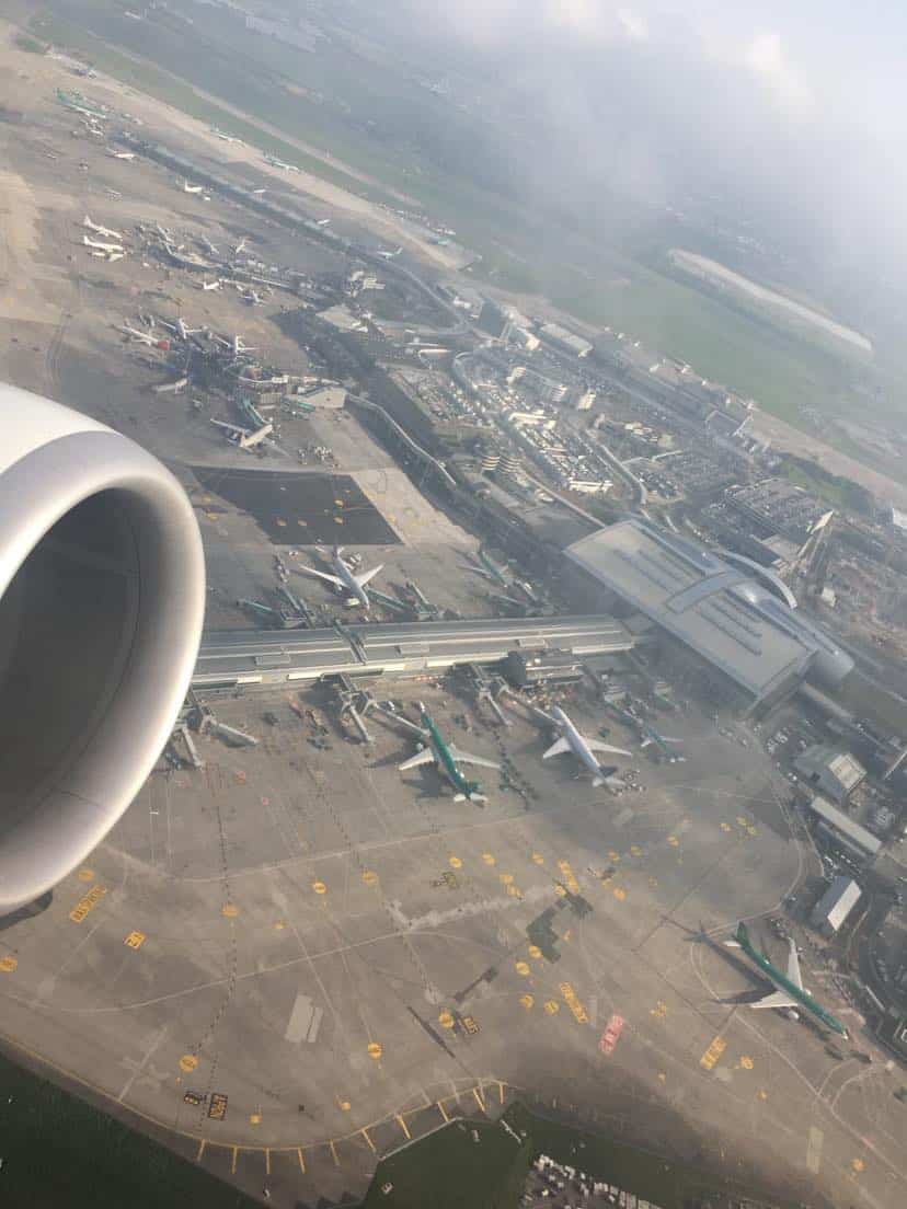
An Airport Mapping Database, also known as AMDB, is a system which outlines the layout of an airport. The map consists of a detailed and accurate rendering of the exact positioning of airport infrastructure such as runways, taxiways, aircraft gates and terminal facilities.
The primary use of AMDB systems is to provide directional guidance to flight crew when taxiing the aircraft. However, AMDB can also be useful for ATC as a reference for issuing instructions to aircraft on the ground.
Airport personnel may also use the AMDB for stand allocation purposes and airport maintenance planning.
The interactive nature of the AMDB also means specific areas of an airport can be focused in on.
The high degree of detail available from the AMDB includes precise specifications in relation to airport infrastructure. Some of the specifications provided include:
- Runway Slope Information
- Runway Length, Width and Depth
- Taxiway Names and Width
- Aircraft Stand Dimensions, Widebody/Narrow body Allocation
- Dimensions specific to runway, taxiway and stand lines
This level of detail is particularly essential for larger, aircraft types which may be irregular to an airport, in which the operator can assess the suitability of airport infrastructure prior to the aircraft’s arrival.
From a flight crew perspective, AMDB is considered an efficient system for enhancing on-ground navigation and situational awareness as many modern AMDB systems are integrated onto the Electronic Flight Bag (EFB).
This EFB integration includes real-time positioning of the aircraft in relation to the airport mapped to the AMDB.
When issued with ATC taxi instructions, AMDB provides guidance related to the specific instructions.
Prior to taxi, flight crew can select the taxi route on the AMDB via the EFB in order to be provided with visual guidance.
AMDB can also assist in forecasting and identifying potential collision or incursion hotspots across the airport. These hotspots can then be marked and added to Aeronautical Information Charts pertinent to the airport.
Recent AMDB have also included the 3D rendering of airport infrastructure such as terminal buildings, hangars and FBOs.
This has added to the levels of situational awareness available to the pilots by providing visual depictions of the infrastructure.
This is particularly useful for non-based flight crew operating at an airport in which they are unfamiliar with.
Accompanied with RAAS (Runway Awareness and Advisory System), an aural warning system, AMDB provides flight crew with an enhanced level of situational awareness.
Modern Avionics and AMDB
Found on modern avionics suites and packages, the Synthetic Vision System (SVS) has integrated elements of the AMDB into its systems.
Synthetic Vision is available on the Primary Flight Display (PFD), in which 3D rendering of the AMDB is displayed. This improves on-ground situational awareness as aircraft positioning is available as a visual reference in front of the flight crew.
Available as part of some avionics packages, the AMDB in 2D format mapping can be found on the centralized, Multi Function Display (MFD) on the aircraft.
Primary examples of avionics packages which integrate AMDB technology are the Garmin G2000/3000 series, which can be found on many modern aircraft such as the Honda jet HA-420 and TBM 900 series.
Other Uses
Aside from aeronautical on-ground navigation, AMDB systems and associated technologies have also become of use for other applications.
This includes flight simulation, automated ground vehicles and tracking.
The development of autonomous Ground Service Equipment (GSE) and airport transport vehicles have also utilized AMDB as a primary source for mapping.
Due to the nature of AMDB being GIS (Geographic Information System) driven, there is a high degree of accuracy within the AMDB system.
Read More:
Noise Abatement | Aviation Glossary

After visiting more than 60 countries, I have probably been on every type of plane there is and visited countless airports. I did my very first international solo trip to South Africa at the age of only 16 and haven’t really stopped traveling since.
Despite the adventurous travel itch, I do have a nerdy side as well – which is satisfied by writing about all things aviation “too boring” for my regular travel blog.